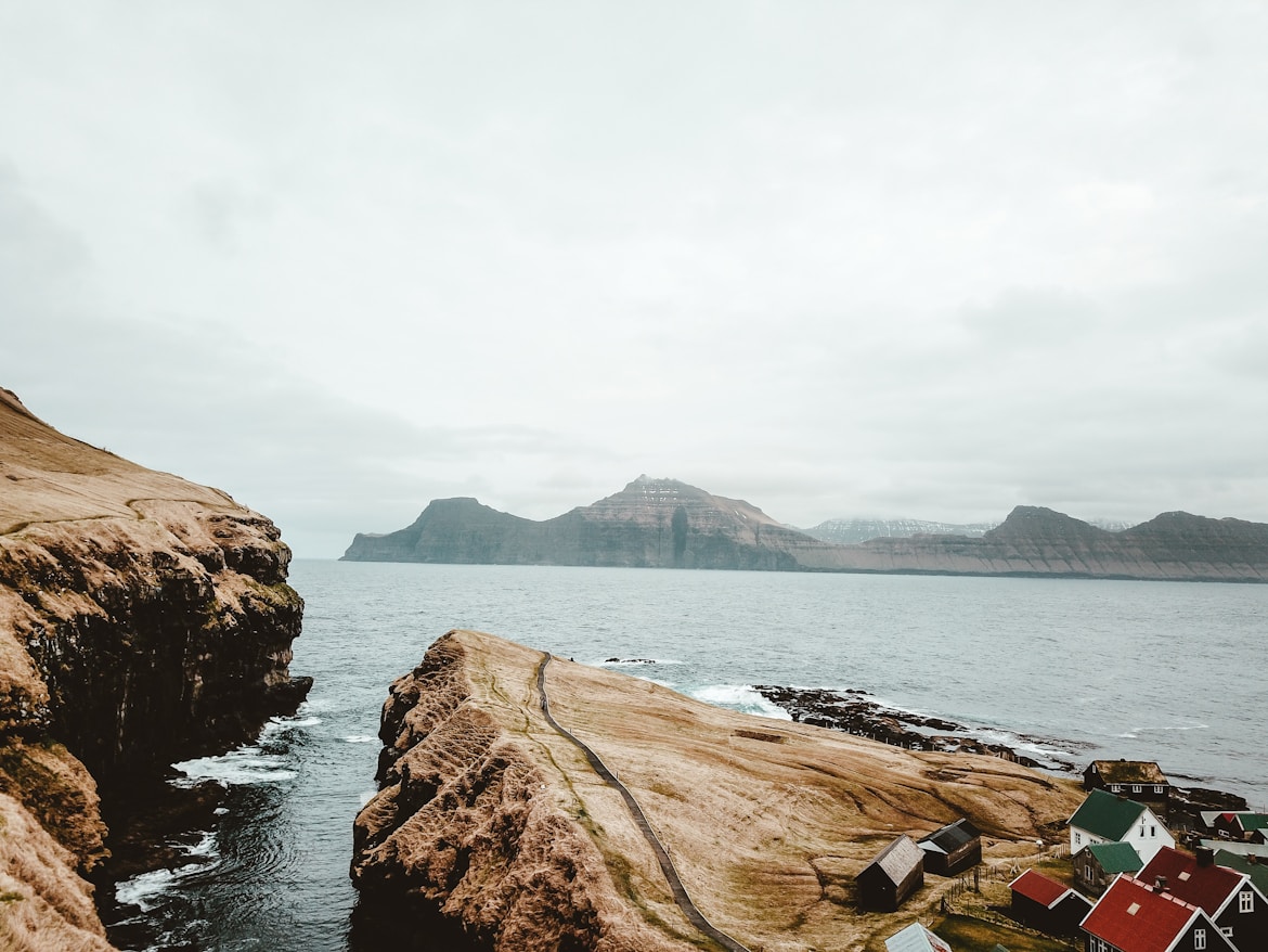
Gerdhir, Eysturoy, Faroe Islands Climate
Weather: 3.06°C/37.51°F, Wind SW at 2.24 km/h, 92% Humidity, 0.27% Chance of rain
Gerdhir Climate Summary
Located at an elevation of 88.98 meters (291.93 feet) above sea level, Gerdhir has a Marine west coast, cool summer climate (Classification: Cfc). The district’s yearly temperature is 7.78ºC (46.0ºF) and it is -0.16% lower than Faroe Islands’s averages. Gerdhir typically receives about 59.18 millimeters (2.33 inches) of precipitation and has 159.93 rainy days (43.82% of the time) annually.
| Country | Faroe Islands |
| City | Eysturoy |
| Longitude | -6.8818927 |
| Latitude | 62.2212389 |
| Attitude/Elevation | 88.98m (291.93ft) |
| Local time | Saturday 07:06 |
| Annual high temperature | 8.29ºC (46.92ºF) |
| Annual low temperature | 6.64ºC (43.95ºF) |
| Average annual precip. | 59.18mm (2.33in) |
| Warmest month | August (11.55ºC / 52.79ºF) |
| Coldest Month | March (4.29ºC / 39.72ºF) |
| Wettest Month | December (106.67mm / 4.2in) |
| Driest Month | August (28.57mm / 1.12in) |
| Number of days with rainfall (≥ 1.0 mm) | 159.93 days (43.82%) |
| Days with no rain | 205.07 days (56.18%) |
| Humidity | 80.64% |
Climate Gerdhir: Weather By Month
| Month | Jan | Feb | Mar | Apr | May | Jun | Jul | Aug | Sep | Nov | Oct | Dec | Year |
|---|---|---|---|---|---|---|---|---|---|---|---|---|---|
| Record high °C (°F) | 9.9(49.82) | 8.91(48.04) | 8.91(48.04) | 9.9(49.82) | 10.89(51.6) | 12.87(55.17) | 15.84(60.51) | 13.86(56.95) | 12.87(55.17) | 11.88(53.38) | 11.88(53.38) | 9.9(49.82) | 15.84(60.51) |
| Average high °C (°F) | 6.31(43.36) | 6.08(42.94) | 6.08(42.94) | 6.69(44.04) | 7.76(45.97) | 9.72(49.5) | 11.19(52.14) | 11.55(52.79) | 10.62(51.12) | 9.17(48.51) | 7.63(45.73) | 6.57(43.83) | 8.29(46.92) |
| Daily mean °C (°F) | 5.64(42.15) | 5.52(41.94) | 5.52(41.94) | 6.12(43.02) | 7.29(45.12) | 9.31(48.76) | 10.81(51.46) | 11.21(52.18) | 10.26(50.47) | 8.71(47.68) | 7.09(44.76) | 5.88(42.58) | 7.78(46.0) |
| Average low °C (°F) | 4.46(40.03) | 4.33(39.79) | 4.29(39.72) | 4.99(40.98) | 6.14(43.05) | 8.16(46.69) | 9.84(49.71) | 10.39(50.7) | 9.36(48.85) | 7.53(45.55) | 5.77(42.39) | 4.45(40.01) | 6.64(43.95) |
| Record low °C (°F) | -6.93(19.53) | -4.95(23.09) | -8.91(15.96) | -4.95(23.09) | -3.96(24.87) | -0.99(30.22) | 0.99(33.78) | 0.0(0) | 0.99(33.78) | -5.94(21.31) | -6.93(19.53) | -7.92(17.74) | -8.91(15.96) |
| Average precipitation mm (inches) | 88.57(3.49) | 70.24(2.77) | 70.25(2.77) | 41.13(1.62) | 37.5(1.48) | 30.03(1.18) | 31.78(1.25) | 28.57(1.12) | 47.15(1.86) | 83.65(3.29) | 74.59(2.94) | 106.67(4.2) | 59.18(2.33) |
| Average precipitation days (≥ 1.0 mm) | 19.26 | 15.39 | 15.93 | 11.07 | 11.07 | 7.2 | 7.11 | 5.85 | 11.43 | 16.56 | 17.82 | 21.24 | 13.33 |
| Average relative humidity (%) | 75.37 | 75.7 | 76.0 | 78.18 | 80.59 | 85.85 | 88.08 | 86.88 | 85.62 | 81.95 | 77.4 | 75.99 | 80.64 |
| Mean monthly sunshine hours | 2.95 | 4.97 | 7.56 | 11.0 | 14.51 | 18.23 | 16.07 | 12.11 | 9.69 | 5.46 | 4.3 | 2.29 | 9.1 |
Climate Graph
The chart below shows the mean monthly temperature and precipitation of Gerdhir in recent years.

Gerdhir Temperature by Month
| August | 11.21°C | 52.18°F | |
| July | 10.81°C | 51.46°F | |
| September | 10.26°C | 50.47°F | |
| June | 9.31°C | 48.76°F | |
| October | 8.71°C | 47.68°F | |
| May | 7.29°C | 45.12°F | |
| November | 7.09°C | 44.76°F | |
| April | 6.12°C | 43.02°F | |
| December | 5.88°C | 42.58°F | |
| January | 5.64°C | 42.15°F | |
| February | 5.52°C | 41.94°F | |
| March | 5.52°C | 41.94°F |
Historical Data
| Temperature | Max | Average | Min | |
|---|---|---|---|---|
| Max Temperature | 7.92°C (46.26°F) | 5.87°C (42.57°F) | 2.97°C (37.35°F) | |
| Avg Temperature | 6.93°C (44.47°F) | 5.27°C (41.49°F) | 1.98°C (35.56°F) | |
| Min Temperature | 6.93°C (44.47°F) | 4.6°C (40.28°F) | 1.98°C (35.56°F) | |
| Dew Point | Max | Average | Min | |
| Dew Point | 4.95°C (40.91°F) | 0.46°C (32.83°F) | -4.95°C (23.09°F) | |
| Precipitation | Max | Average | Min | Sum |
| Precipitation | 4.46mm | 0.18in | 1.28mm | 0.05in | 0.0mm | 0in | 35.74mm | 1.41in |
| Snowdepth | 0.79mm | 0.03in | 0.07mm | 0.0in | 0.0mm | 0in | 1.98mm | 0.08in |
| Wind | Max | Average | Min | |
| Wind | 57.42kmh | 35.68mph | 34.69kmh | 21.56mph | 20.79kmh | 12.92mph | |
| Gust Wind | 74.25kmh | 46.14mph | 47.63kmh | 29.6mph | 28.71kmh | 17.84mph | |
| Sea Level Pressure | Max | Average | Min | |
| Sea Level Pressure | 4.46mb | 1.28mb | 0.0mb |

Daily Observations
| Time | Temperature | Dew Point | Humidity | Wind Speed | Pressure | Precipitation |
|---|---|---|---|---|---|---|
| February | ° C | ° F | ° C | ° F | % | Kph | Mph | Hg | Mb | Total (mm/in) |
| 2018-02-01 | 4.95 | 40.91 | 0.99 | 33.78 | 74 | 52.47 | 32.6 | 29.38 | 994.95 | 0.3 | 0.01 |
| 2018-02-02 | 3.96 | 39.13 | 0.0 | 0 | 76 | 22.77 | 14.15 | 29.53 | 999.9 | 0.0 | 0 |
| 2018-02-03 | 5.94 | 42.69 | 2.97 | 37.35 | 82 | 20.79 | 12.92 | 29.41 | 995.94 | 1.88 | 0.07 |
| 2018-02-04 | 5.94 | 42.69 | 2.97 | 37.35 | 78 | 30.69 | 19.07 | 29.94 | 1013.76 | 0.3 | 0.01 |
| 2018-02-05 | 6.93 | 44.47 | 3.96 | 39.13 | 85 | 45.54 | 28.3 | 29.59 | 1001.88 | 4.16 | 0.16 |
| 2018-02-06 | 2.97 | 37.35 | -4.95 | 23.09 | 56 | 30.69 | 19.07 | 29.64 | 1003.86 | 0.69 | 0.03 |
| 2018-02-07 | 5.94 | 42.69 | 0.0 | 0 | 70 | 33.66 | 20.92 | 29.35 | 993.96 | 2.87 | 0.11 |
| 2018-02-08 | 3.96 | 39.13 | -1.98 | 28.44 | 64 | 36.63 | 22.76 | 29.06 | 984.06 | 2.08 | 0.08 |
| 2018-02-09 | 3.96 | 39.13 | -3.96 | 24.87 | 57 | 32.67 | 20.3 | 29.09 | 985.05 | 0.59 | 0.02 |
| 2018-02-10 | 5.94 | 42.69 | 0.99 | 33.78 | 72 | 54.45 | 33.83 | 28.68 | 971.19 | 4.16 | 0.16 |
| 2018-02-11 | 1.98 | 35.56 | -4.95 | 23.09 | 57 | 31.68 | 19.69 | 28.88 | 978.12 | 1.68 | 0.07 |
| 2018-02-12 | 2.97 | 37.35 | -3.96 | 24.87 | 58 | 29.7 | 18.45 | 28.97 | 981.09 | 1.19 | 0.05 |
| 2018-02-13 | 3.96 | 39.13 | -1.98 | 28.44 | 66 | 39.6 | 24.61 | 28.77 | 974.16 | 1.78 | 0.07 |
| 2018-02-14 | 5.94 | 42.69 | 0.99 | 33.78 | 72 | 57.42 | 35.68 | 28.53 | 966.24 | 4.46 | 0.18 |
| 2018-02-15 | 5.94 | 42.69 | 1.98 | 35.56 | 74 | 49.5 | 30.76 | 28.47 | 964.26 | 2.67 | 0.11 |
| 2018-02-16 | 5.94 | 42.69 | 0.0 | 0 | 67 | 38.61 | 23.99 | 29.23 | 990.0 | 0.69 | 0.03 |
| 2018-02-17 | 4.95 | 40.91 | 0.99 | 33.78 | 74 | 20.79 | 12.92 | 29.38 | 994.95 | 0.4 | 0.02 |
| 2018-02-18 | 5.94 | 42.69 | 0.0 | 0 | 67 | 20.79 | 12.92 | 29.59 | 1001.88 | 0.1 | 0.0 |
| 2018-02-19 | 6.93 | 44.47 | 4.95 | 40.91 | 87 | 37.62 | 23.38 | 29.53 | 999.9 | 2.08 | 0.08 |
| 2018-02-20 | 6.93 | 44.47 | 1.98 | 35.56 | 71 | 31.68 | 19.69 | 29.76 | 1007.82 | 0.0 | 0 |
| 2018-02-21 | 5.94 | 42.69 | 0.99 | 33.78 | 70 | 26.73 | 16.61 | 29.91 | 1012.77 | 0.0 | 0 |
| 2018-02-22 | 6.93 | 44.47 | 3.96 | 39.13 | 80 | 51.48 | 31.99 | 29.61 | 1002.87 | 0.89 | 0.04 |
| 2018-02-23 | 6.93 | 44.47 | 4.95 | 40.91 | 85 | 35.64 | 22.15 | 29.59 | 1001.88 | 2.77 | 0.11 |
| 2018-02-24 | 5.94 | 42.69 | 1.98 | 35.56 | 74 | 38.61 | 23.99 | 29.82 | 1009.8 | 0.0 | 0 |
| 2018-02-25 | 5.94 | 42.69 | 1.98 | 35.56 | 74 | 24.75 | 15.38 | 30.11 | 1019.7 | 0.0 | 0 |
| 2018-02-26 | 5.94 | 42.69 | 0.99 | 33.78 | 73 | 28.71 | 17.84 | 30.29 | 1025.64 | 0.0 | 0 |
| 2018-02-27 | 4.95 | 40.91 | 0.0 | 0 | 70 | 22.77 | 14.15 | 30.4 | 1029.6 | 0.0 | 0 |
| 2018-02-28 | 2.97 | 37.35 | -2.97 | 26.65 | 64 | 24.75 | 15.38 | 30.37 | 1028.61 | 0.0 | 0 |
Gerdhir 11 Year Historical Weather Data
- Gerdhir, Eysturoy weather in February 2010
- Gerdhir, Eysturoy weather in February 2011
- Gerdhir, Eysturoy weather in February 2012
- Gerdhir, Eysturoy weather in February 2013
- Gerdhir, Eysturoy weather in February 2014
- Gerdhir, Eysturoy weather in February 2015
- Gerdhir, Eysturoy weather in February 2016
- Gerdhir, Eysturoy weather in February 2017
- Gerdhir, Eysturoy weather in February 2019
- Gerdhir, Eysturoy weather in February 2020
Nearby locations
- Soldarfjoryur 0.00 km ( 0.00 mi)
- Morskernaes 0.00 km ( 0.00 mi)
- Naes 0.00 km ( 0.00 mi)
- Grogv 0.00 km ( 0.00 mi)
- Torkilsheygur 0.00 km ( 0.00 mi)
- Sevlende 0.00 km ( 0.00 mi)
- Funningsfjoryur 0.00 km ( 0.00 mi)
- Vidh Gard 0.00 km ( 0.00 mi)
- Strender 0.00 km ( 0.00 mi)
- Langesand 0.00 km ( 0.00 mi)
- Skibenaes 0.00 km ( 0.00 mi)
- Saltnaes 0.00 km ( 0.00 mi)
- Soldarfjordhur 0.00 km ( 0.00 mi)
- Vordhan 0.00 km ( 0.00 mi)
- Heller 4.83 km ( 3.00 mi)
- Oyrarbakki 6.18 km ( 3.84 mi)
- Oyndarfjoryur 6.29 km ( 3.91 mi)
- Elduvik 6.83 km ( 4.25 mi)
- Selatradh 6.96 km ( 4.33 mi)
- Svinair 7.63 km ( 4.74 mi)
- Noryragota 7.64 km ( 4.75 mi)
- Nordhragota 7.64 km ( 4.75 mi)
- Syyrugota 7.66 km ( 4.76 mi)
- Funding 8.66 km ( 5.38 mi)
- Skale 8.82 km ( 5.48 mi)
- Toftanes 9.00 km ( 5.59 mi)
- Leirvik 9.20 km ( 5.72 mi)
- Langasandur 9.23 km ( 5.73 mi)
- Ljosa 10.70 km ( 6.65 mi)
- Lambi 12.01 km ( 7.46 mi)
- Lambareidhi 12.01 km ( 7.46 mi)
- Gjogv 12.01 km ( 7.47 mi)
- Kolbanargjogv 12.10 km ( 7.52 mi)
- Eiyi 14.27 km ( 8.86 mi)
- Eidhi 14.27 km ( 8.86 mi)
- Saltangara 14.59 km ( 9.07 mi)
- Toftir 15.74 km ( 9.78 mi)
- Rituvik 16.42 km ( 10.21 mi)
- Heyggjur 37.94 km ( 23.58 mi)
- View all
Comments (0)
- Latest first
- Highest rated
Be the first to comment on this page